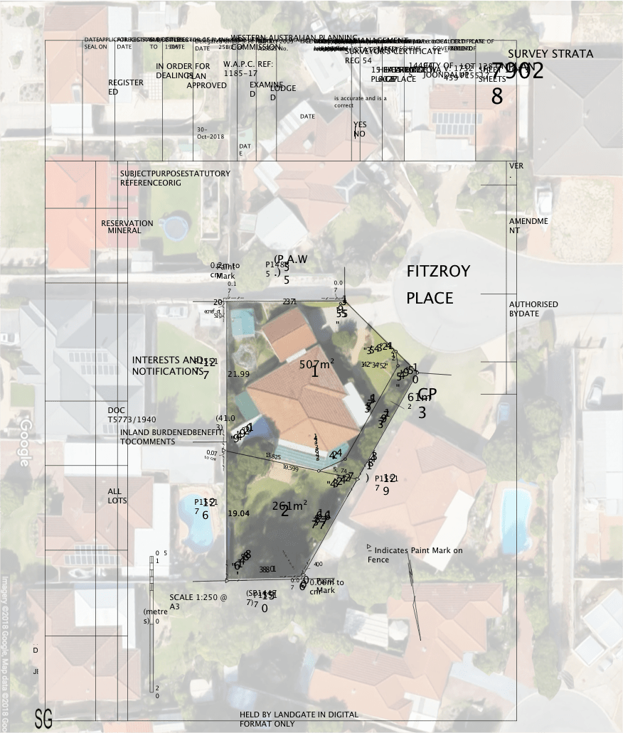
A boundary survey is a specialised type of land survey that is used to determine the precise location and dimensions of a property boundary. This is important because the boundary of a piece of land defines the limits of ownership, and any discrepancies or ambiguities in the boundary can lead to disputes or other legal issues.
Buying or Selling a property
When purchasing or selling a piece of land, a boundary survey can provide valuable information about the property and help ensure that the transaction is conducted smoothly and without any unexpected complications.
Boundary disputes
Boundary disputes are a common problem, especially in densely populated areas where properties are closely spaced and clear boundaries are not always well-defined. A boundary survey can be used to settle disputes by providing a precise and unbiased determination of the location of a property boundary. This can help avoid costly legal battles and other issues that can arise when neighbours disagree about the location of a boundary line.
Construction
Before building a new structure on a piece of land, it is important to know the exact location of the property boundary. This is because building too close to a property boundary can lead to disputes with neighbours, and in some cases, may even violate local zoning laws or building codes. A boundary survey can provide the necessary information to ensure that a new structure is built in the correct location and complies with all relevant regulations.
Easement
An easement is a legal right to use someone else’s land for a specific purpose, such as accessing a shared driveway or installing a utility line. Easements are typically granted through a written agreement between the property owner and the person or entity that will be using the easement. A boundary survey can be used to determine the exact location and dimensions of an easement, which can be useful for planning and implementing the use of the easement.
Building Permit
In some cases, local zoning laws or building codes may require a boundary survey before issuing a building permit. This is because the boundary of a property defines the limits of what can be built on the land, and a boundary survey can provide the necessary information to ensure that a proposed construction project complies with all relevant regulations.
Planning and Development
A boundary survey can be used to create a detailed map of a property, including the location of the boundary lines, any easements or rights of way, and any structures or other features on the land. This can be useful for a variety of purposes, such as land use planning, development, or conservation.
Repeg
Over time, property surveys can become outdated or inaccurate due to changes in the land, such as the construction of new structures or the natural growth of vegetation. In these cases, a boundary repeg survey can be used to update the survey and provide more accurate information about the property. This can be useful for ensuring that the property is being used and managed correctly, and can also help avoid disputes or other legal issues.
Whatever the reason for you a boundary survey, it’s always best to discuss your needs with a licensed and insured land surveyor for accurate results and peace of mind.
Get a question about any of the above scenarios? Please don’t hesitate to reach out and we are always have to have a no obligation chat.

