Introduction
PBS recently undertook a contour and feature survey, as well as a set-out survey for a tree farm in the area.
Let’s discuss:
- What do these surveys entail?
- What, why and how is a Contour and Feature Survey done?
- What, why and how is a Set- Out Survey done
- What included in Survey Report
What, why and how is a Contour and Feature Survey Completed?
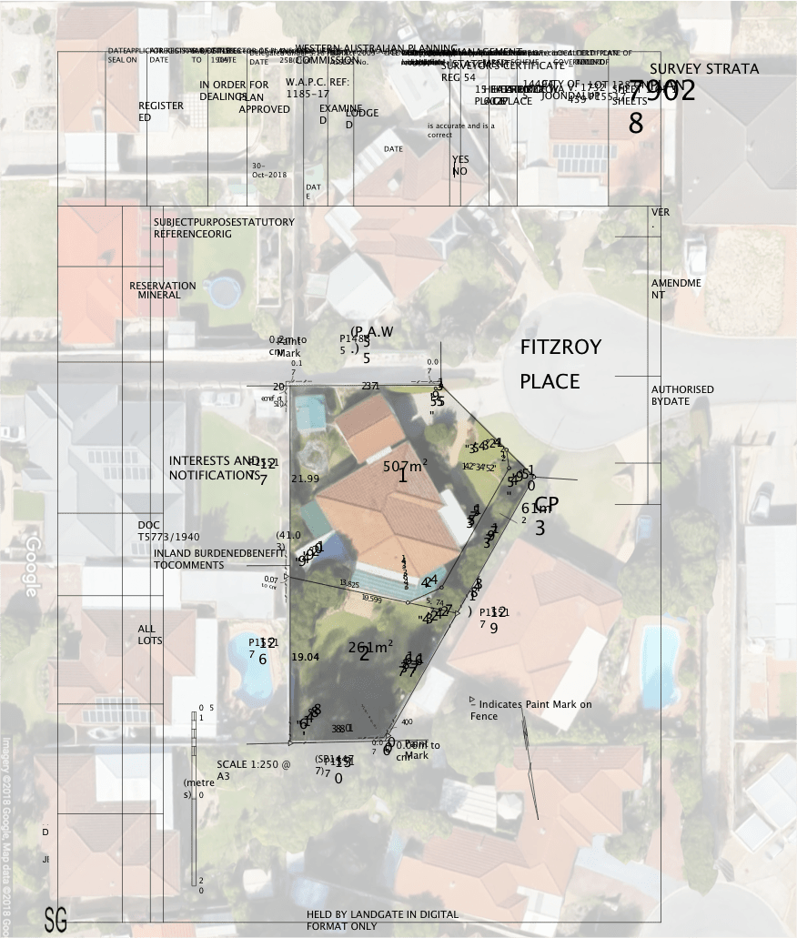
A contour and feature survey is a comprehensive land survey that provides detailed information about the topography of a piece of land. It shows not only the contours and original property boundary but also underground services and the position of utilities.
Why You Might Need One in Bullsbrook
Bullsbrook, located in Western Australia, is known for its agricultural and rural residential land. Whether you’re planning to build a new home, set up a farm, or undertake any development project, a contour and feature survey can be invaluable. It provides essential data that can help in planning drainage, irrigation, and construction, ensuring that you comply with local regulations.
How PBS might conduct a Feature Contour Survey
- Initial Consultation: The first step would likely involve a meeting with the client to understand the specific needs and objectives of the survey. This helps in tailoring the survey to meet those needs.
- Site Assessment: PBS surveyors would then visit the site to assess the land’s topography, existing structures, and other features. This helps in planning the survey.
- Data Collection: Using state-of-the-art surveying equipment like GPS and laser scanners, the surveyors would collect data on the land’s contours, elevations, and features.
- Data Analysis and Mapping: The collected data would be analysed to create detailed topographic maps that show the land’s contours, features, and boundaries.
- Report Generation: A comprehensive report would be generated, which would include the survey findings, maps, and any recommendations for the client.
What Might Be Included in a Feature Contour Survey
- Topographic maps showing land contours and elevations
- Location of existing structures and utilities
- Information on underground services
- Recommendations for land use based on topography
- Regulatory compliance information
What, why and how is a Set-Out Survey Completed?
A set-out survey involves marking out the exact positions of proposed structures or improvements on a property. This is done using the plans and dimensions provided by architects or planners.
Why You Might Need One in Bullsbrook
In an area like Bullsbrook, where agricultural projects like tree farms are common, a set-out survey ensures that every part of the project aligns with the approved plans. It helps in avoiding costly mistakes and legal issues that can arise from encroachments or incorrect placements.
How PBS Might Conduct a Set-Out Survey
- Review of Plans: PBS would start by reviewing the architectural or engineering plans for the proposed structures or improvements.
- Site Visit for Marking: Surveyors would then visit the site to mark out the exact positions where the proposed structures will be built, using stakes or other markers.
- Alignment Checks: After the initial marking, checks would be made to ensure that everything is aligned correctly according to the plans.
- Documentation: All the set-out points would be documented for future reference and for compliance checks.
- Client Briefing: Finally, the client would be briefed on the set-out points, and any adjustments would be made as needed.
What Might Be Included in a Feature Contour Survey
- The exact coordinates of where each structure will be built
- Alignment checks to ensure everything is according to plan
- Documentation of all set-out points
- A report detailing the set-out survey and confirming that it aligns with the approved plans
Conclusion
This case study serves as a prime example of the importance of accurate and reliable land surveying. From understanding the contours and features of the land to setting out precise points for development, the right surveying techniques make a significant difference in the project’s success. Whether you’re planning a similar agricultural venture or any other land development project in Bullsbrook, taking the necessary surveying steps is crucial. As demonstrated in the tree farm project, a well-executed Feature Contour and Set-Out Survey can provide invaluable insights and guidance, ensuring that your development is not only compliant with regulations but also optimized for the land’s unique characteristics.
Don’t Leave Your Land Development to Chance—Choose Perth Boundary Surveys!
Are you a Bullsbrook resident planning to build a new home, set up a farm, or undertake any land development project? Don’t navigate the complexities of land surveying alone. Trust the experts at Perth Boundary Surveys (PBS) to provide you with accurate, reliable, and timely surveying services.
👉 Why Choose PBS?
- Expertise: Specialized in Feature Contour Surveys, Set-Out Surveys, and Boundary Surveys.
- Experience: Nearly 25 years in the industry, led by Richard Jenkins, our Lead Surveyor.
- Quality: State-of-the-art equipment and a team of licensed professionals ensure utmost accuracy.
- Transparency: Fixed fee structure with no hidden costs.